Every member of our field team has the following certifications:
- OSHA HAZWOPER 40 Hour
- TWIC
- SafeLand
- Red Cross CPR and First Aid
Some members of the field team also have the OSHA HAZWOPER supervisor certification as well as the NOLS Wilderness First Aid certification.
Yes.
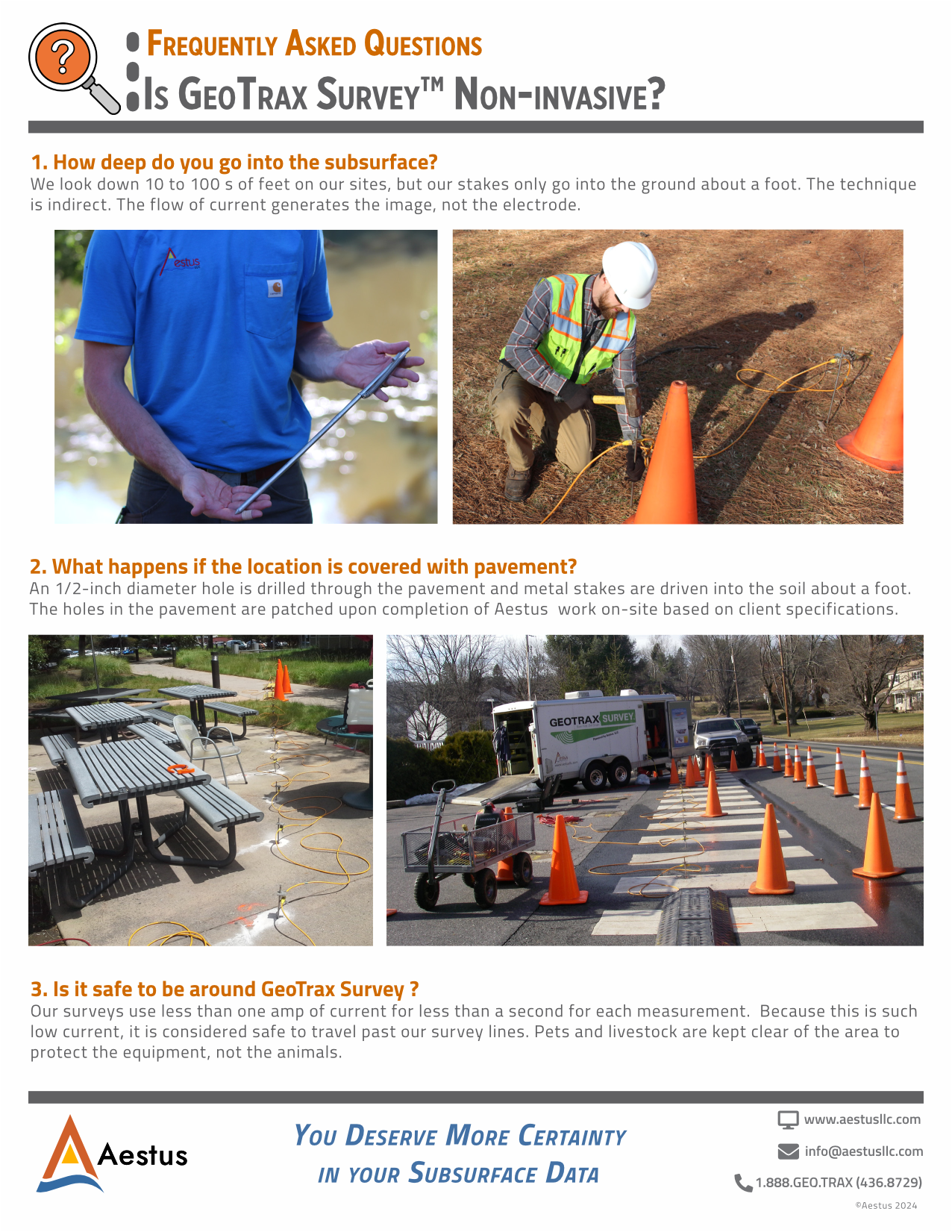
For each measurement, our surveys use less than one amp of current for less than one second, which is considered safe for humans. Pets and livestock are kept clear of the area to protect the equipment.
Yes.
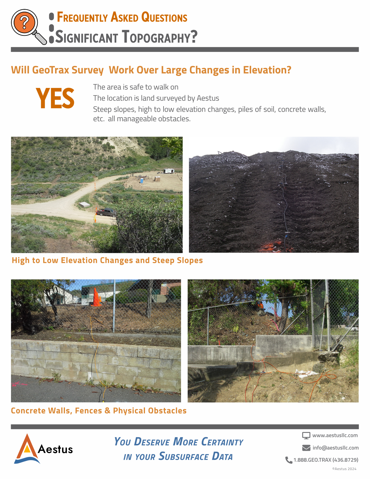
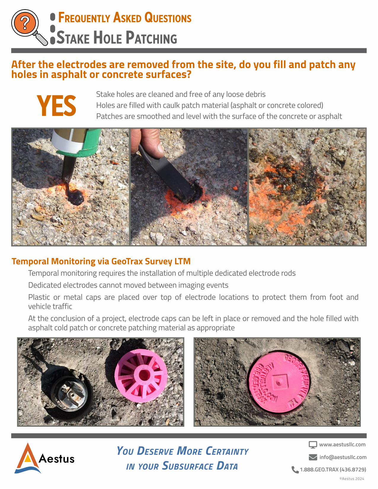
Particularly relative to other high-resolution site characterization (HRSC) methods. Electrode stakes are driven into the earth typically 12 to 16 inches deep, which is above most utility burial depths in theory. Aestus uses both public and private utility locating services to promote the protection of utilities and our field staff.
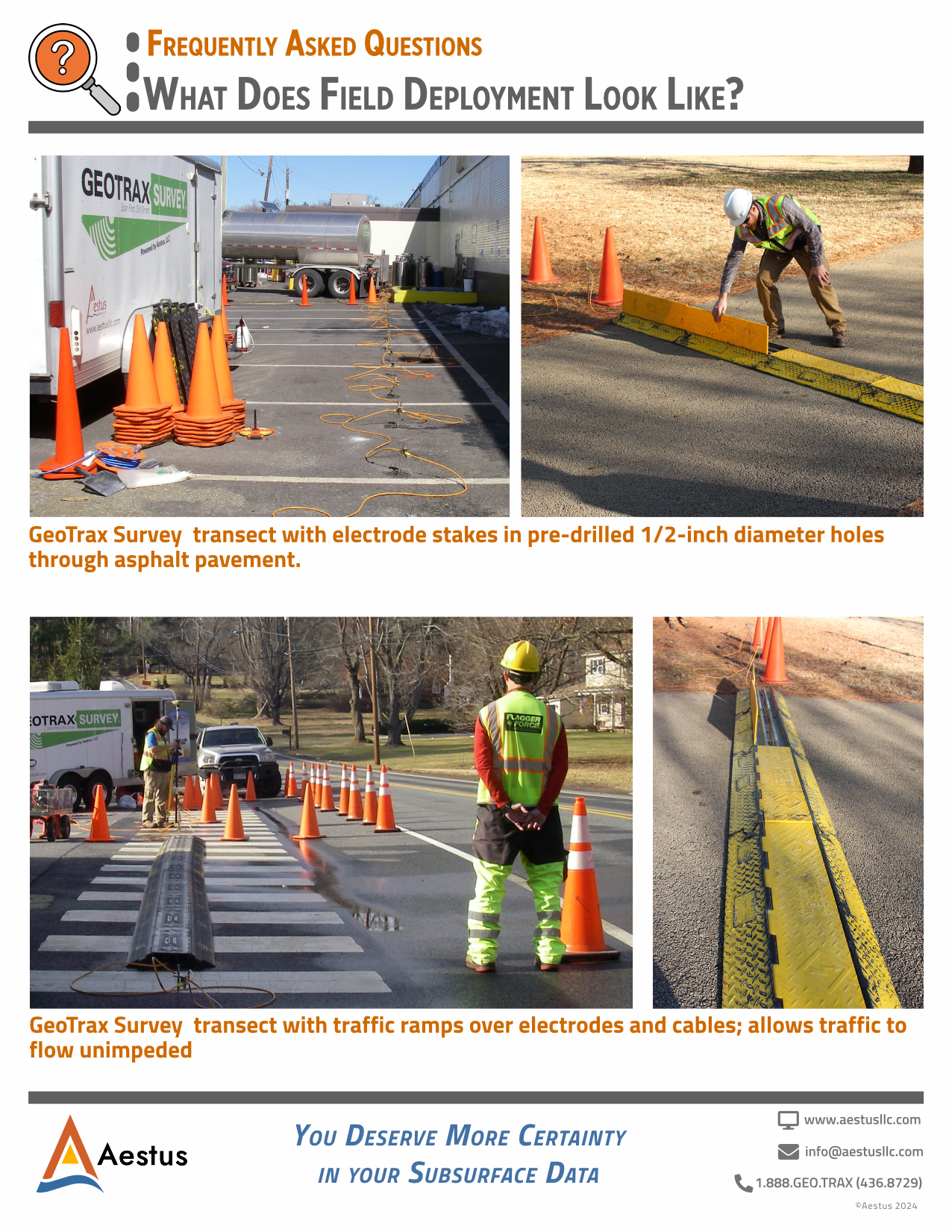
Please do not drive over our cables as this will damage them. We have traffic ramps to place over the cables and allow vehicles to cross.
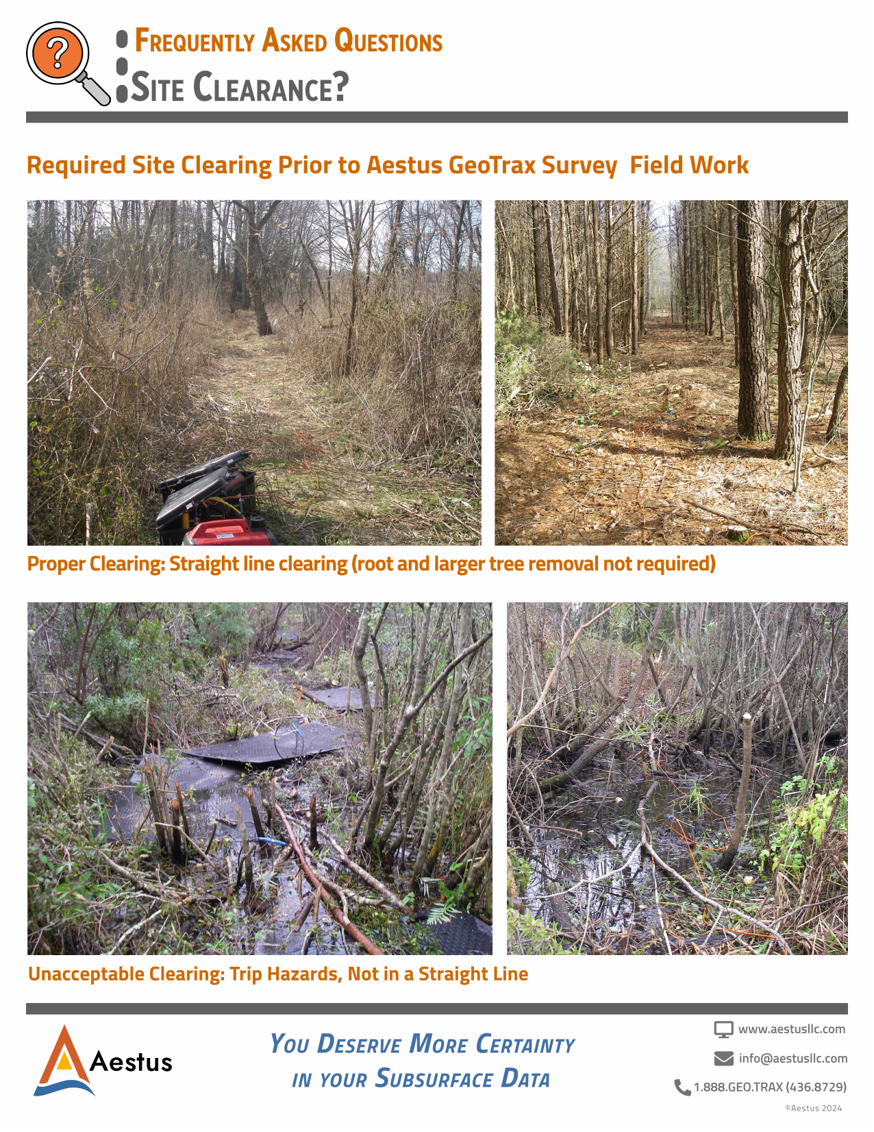
Vegetation clearing in straight lines is required prior to GeoTrax Survey field work, if dense vegetation exists. While large trees can normally stay, mitigation of trip hazards due to low lying stumps, etc., is important.
