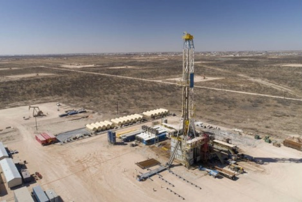
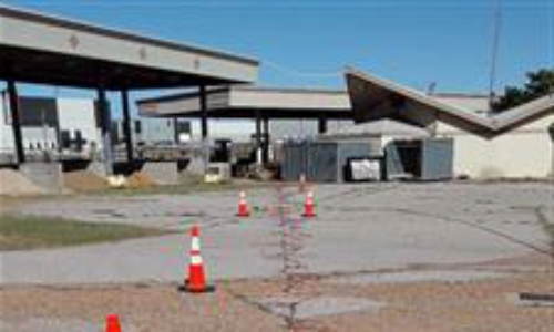
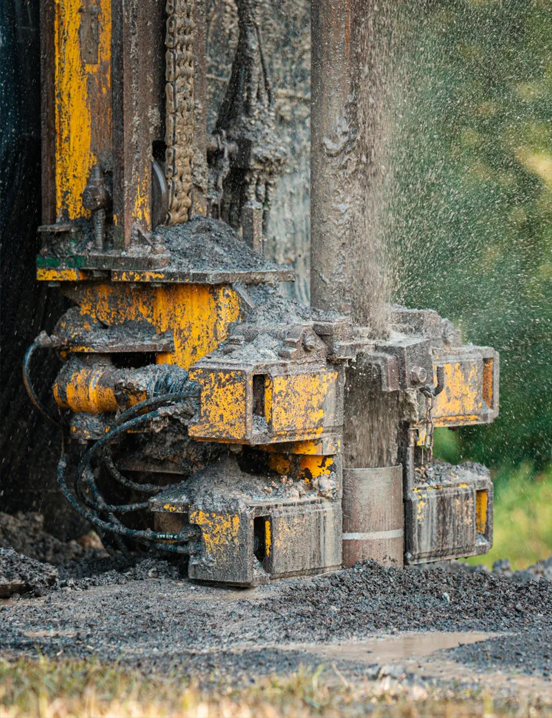
Get a More Complete &
Accurate Picture of Your
Site’s Subsurface
Ultra high-resolution site data for fast, cost-effective decisions.
Move your project forward with more certainty.
Get a More Complete & Accurate Picture of Your Site’s Subsurface
Ultra high-resolution site data for fast, cost-effective decisions.
Move your project forward with more certainty.

Know
where to drill before you drill

Remediate
your sites faster, safer, and cheaper
Identify
geohazards for reduced risk
Monitor
site changes over time
Aestus Approach (3D conceptual site model)
Traditional Approach (Plan view plume map)
Trusted By


Conceptual Site Model (CSM) data are just that–conceptual.
More complete and accurate CSMs require higher data density.
When it comes to drilling and monitoring well data, and you’re the one responsible for deciding what to do next—on top of meeting all cost, environmental, regulatory, and safety requirements—“conceptual” just doesn’t cut it. You need more certainty.
About Us
You Deserve a More Complete and Accurate Picture
of what is below the surface of your site.
Except right now the data from your drilling programs and conceptual site model aren’t telling you enough, and you don’t have the technology to get a more complete picture of what’s really below the surface. So much is riding on your next decision, and failure is not an option. You need more accurate subsurface imaging data to properly inform these critical decisions.
For more than 20 years, we’ve provided 100+ environmental consulting firms, industry and military clients, regulatory agencies, and insurance companies with the data they need to target environmental remediation, production groundwater wells, and geohazard mitigation and avoid making costly drilling mistakes.
When you have ultra-high-resolution site data, you can get a more complete and accurate picture of your site; make faster, more cost-effective decisions; and move your project forward.
These results allowed us to target monitoring and extraction wells in the high-flow pathways so that remediation can be more effective.
Demetrios Klerides P.E., BCEE
Senior Project Manager and Professional Associate, HDR, Inc.
Let us provide a more complete and accurate picture of your site’s subsurface
with the data you need to make faster, more cost-effective decisions and move your project forward.
FAQ
Not sure if ultra-high resolution site data will help move your project forward?
We are here to answer your questions.
I believe a key factor in the success of the project was due to the expertise of Aestus and their use of ultra-high resolution methods for the characterization of the release and the local hydrogeologic environment.
Guy W. Sewell
President, City of Ada (Oklahoma) Water Resources Board
Free subsurface technology selection Matrix
Our goal is to equip you with the best tools and expertise to ensure your project moves forward smoothly and successfully. We’re excited to offer our free Subsurface Technology Selection Matrix, designed to give you the technical insights needed to make informed decisions about which of the varied site characterization technologies is the best fit for your site.
By providing your contact information, Aestus will add you to our mailing list and send you periodic news and updates.