Technical Videos

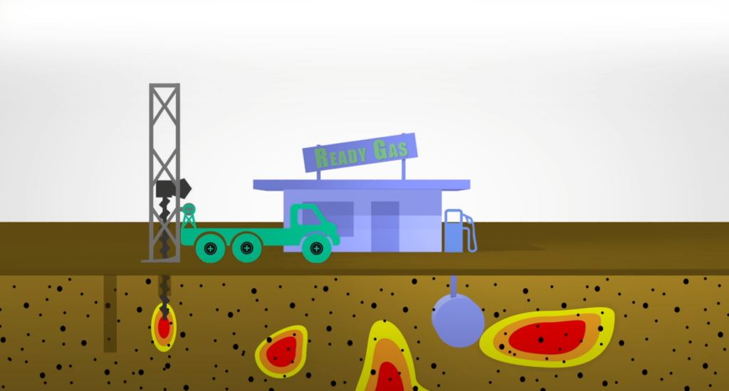
Scan First & Then Drill and Remediate
Aestus, LLC's GeoTrax Survey™ proprietary subsurface imaging and conceptual site model (CSM) process. GeoTrax Survey™ is primarily used to locate the vertical and horizontal extent of environmental contamination in the subsurface, so that it can be cleaned up effectively and efficiently.

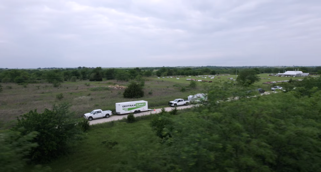
Rural Site for Water Supply Project
Aestus facilitated our “scan first and know where to drill” approach to assist our client with targeting groundwater supply wells for the local community at this rural site. The project objectives required longer transect lines and supplemental equipment to achieve deeper imaging depths.

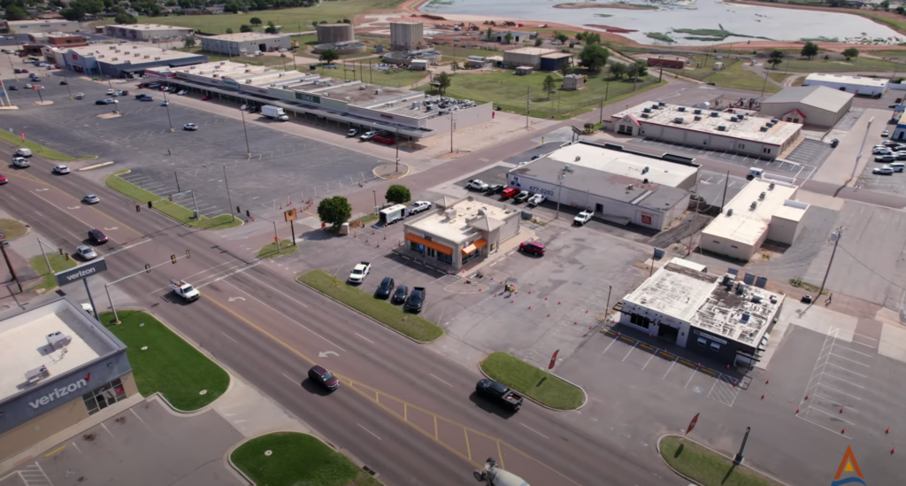
Urban Site with Hydrocarbon Impacts
Aestus’ GeoTrax Survey™ imaging technology was deployed in an urban environment to better understand a complex hydrocarbon plume in geology with preferential flowpaths. Continuous imaging data across the site allows project stakeholders to focus remedial efforts with certainty.
Listen, Ask & Learn - True Blue Webinar Series
Aestus presents the Listen, Ask and Learn webinar series, in cooperation with True Blue Technologies. Each webinar focuses on a unique application of Aestus' process to solve a wide variety of complex problems in the subsurface.