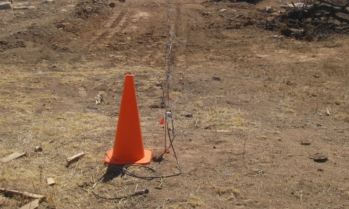
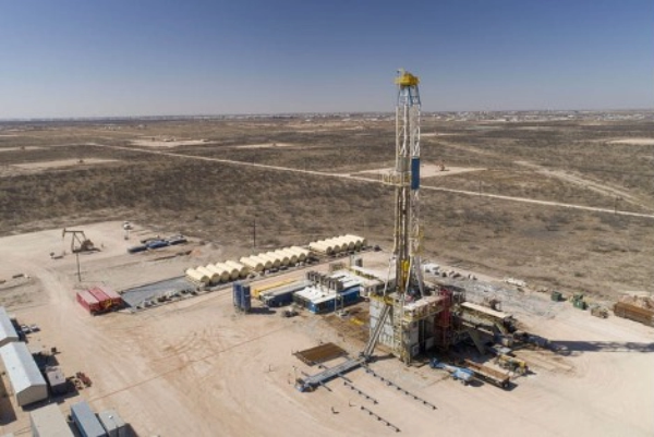
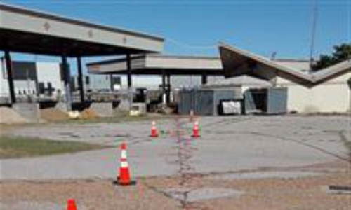
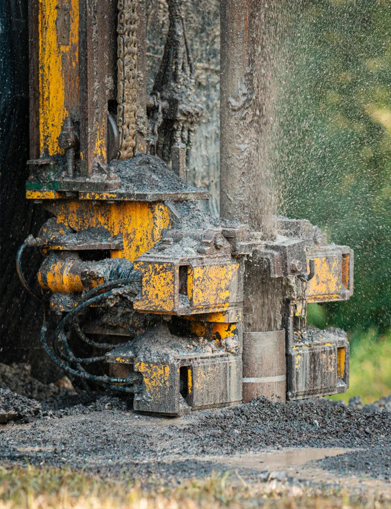
GeoTrax CSM+™ for a Better Conceptual Site Model
Too many environmental sites cannot be cleaned up over the course of years or decades. This is because remediation efforts are based on inaccurate conceptual site models developed using low data density drilling data that was collected without the benefit of targeting.
The Aestus GeoTrax CSM+™ process for conceptual site model development combines our proprietary Aestus GeoTrax Survey™ non-invasive subsurface scanning technology and Aestus GeoTrax VIZ™ data integration and 3D visualization. This process integrates the scanning imagery and targeted client drilling data to generate ultra-high data density 3D conceptual site models that provide better data, allowing you to make better decisions.
The Aestus GeoTrax CSM+™ conceptual site model identifies hard-to-find contamination, zones of bioactivity, and impacts to surface water and sediments, and provides further insight on hydrogeology and contaminant flow paths. This detailed information results in faster site closure at lower cost.