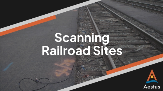
Railroad properties present a unique challenge in environmental investigation due to access constraints and diverse potential contaminant sources. Decades of continuous operations often leave behind mixed contaminants, variable fill materials, and heavily disturbed soils—conditions that make traditional characterization methods with one-dimensional borings inefficient and incomplete.
Rail corridors typically contain:
These complexities create significant uncertainty when using drilling alone to characterize subsurface impacts. Small-scale features such as LNAPL pockets, preferential pathways, or perched zones often go undetected, particularly directly under or near the tracks where drilling is infeasible.
Aestus’ GeoTrax Survey™ resistivity imaging helps overcome these limitations by providing continuous, high-resolution subsurface imagery directly beneath or alongside the tracks with limited interference to active rail operations. Aestus field team staff have experience working near railroad tracks and have held various railroad safety certifications. While GeoTrax SurveyTM electrode cables crossing over the top of rails will require there to be no train traffic, the cables can often be threaded through the track ballast to collect data while train traffic continues as normal above.
GeoTrax Survey™ imaging at railroad sites can reveal: